
This printout is the guide only. To print your map, download a PNG from the Save tab and print that.
Free fantasy map generator
Make a whole world in one click, paint over it and flip it to hex tiles.

This free fantasy map generator draws a complete world for you: coastlines, mountain ranges, rivers, forests, kingdoms, towns and all their names. Press New map until you get one you like, then paint over it, drag the labels where you want them and download it as a PNG. There's no sign-up and no watermark.
The generator gets you a starting point, and the editing is what makes the map yours. You can cut new coastlines, raise mountains, add castles and rename everything, so it works as a fantasy map maker as well as a map generator.
The other thing this fantasy map creator does is hex. Press Hex map above the canvas and the same world turns into terrain tiles, and anything you paint in one view shows up in the other. The hex section below covers sizes, numbering and miles per hex.
How to make a fantasy map
- Get a map you like. Press New map. That's all it takes to create a fantasy map here. Each press makes a new world using your current settings, and Undo takes you back to the last one if you skip past a good one.
- Set up the world. The World tab has the land shape (one continent, two lands, islands, an inland sea, part of a bigger land, or a blank sea), how much of the map is land, temperature, rainfall and size. The coastline holds its general shape when you move these, so you can nudge a map you already like.
- Paint what's wrong. On the Paint tab, pick a terrain and drag on the map. Water cuts channels through the land and Land raises new islands out of the sea. Mountains get drawn with shading and snow, and trees fill in as you paint a forest. Erase paint puts the original terrain back.
- Fix the names. Tap any name to retype it, resize it or delete it, and drag it to move it. The same goes for the title, the compass and the scale bar. The Names tab adds your own towns, castles, ruins and labels, and it can redo every name in a different style.
- Pick a look. The Style tab redraws the same map as Storybook, Parchment, Ink or Atlas.
- Save it. On the Save tab, download a PNG up to 8192 pixels wide, or copy a link that rebuilds the map for anyone you send it to. Your map also saves itself in your browser as you work, so you can close the tab and pick it up later.
The size setting decides how much ground a painted map covers. Region is about 700 miles across, Continent about 1,800 and World about 4,200, so pick World when you want a fantasy world map generator and not one kingdom.
Fantasy world maps made with this generator
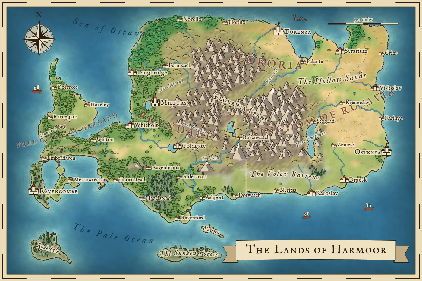
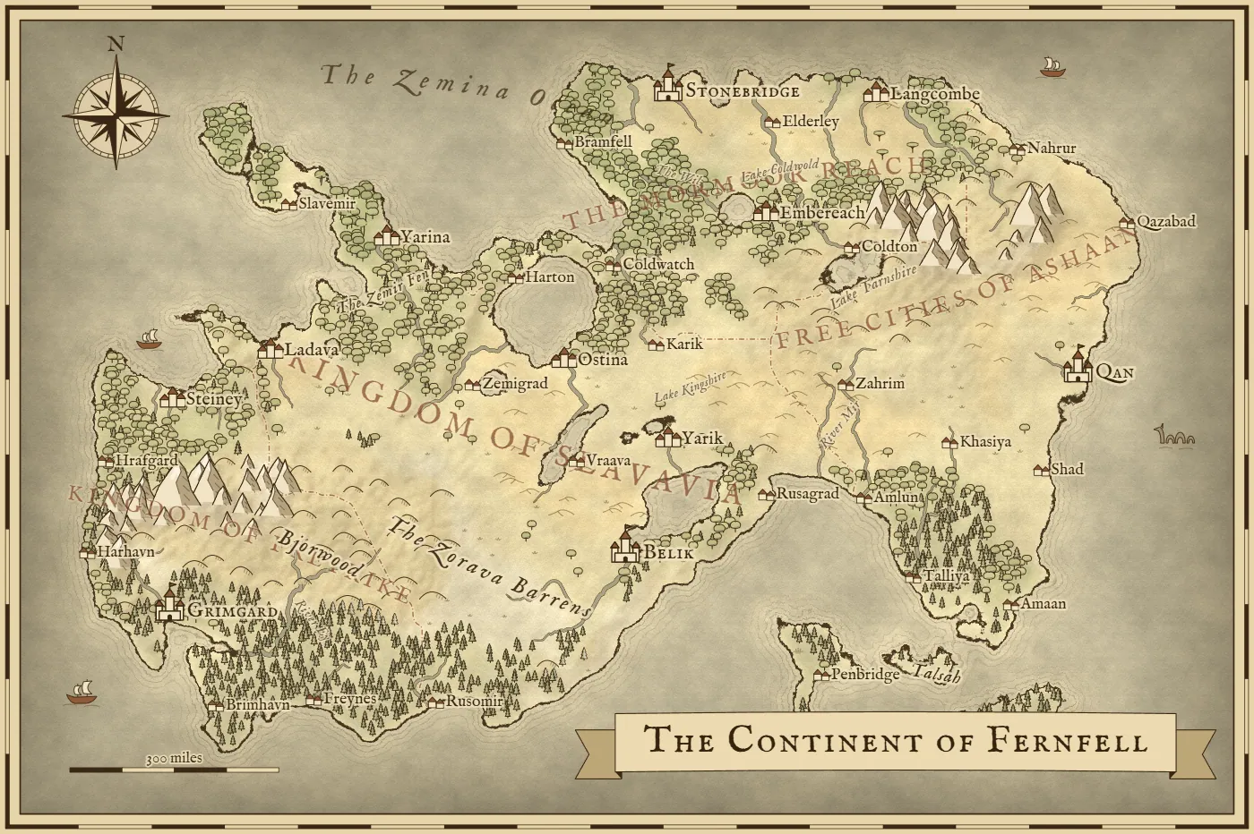
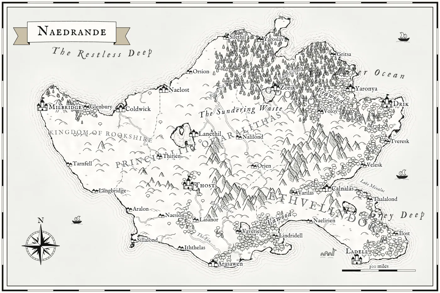
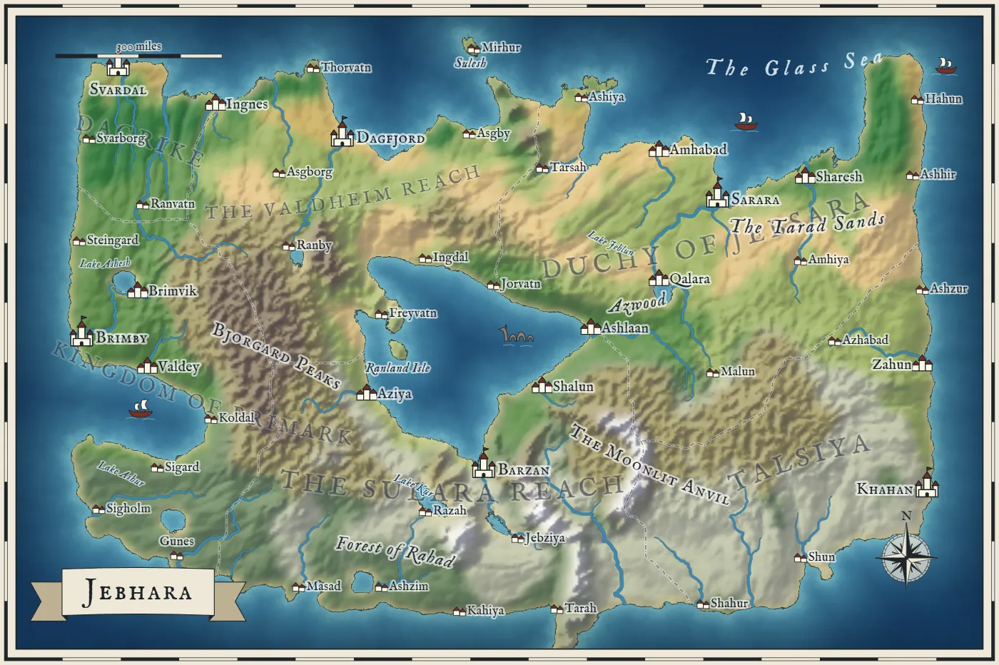
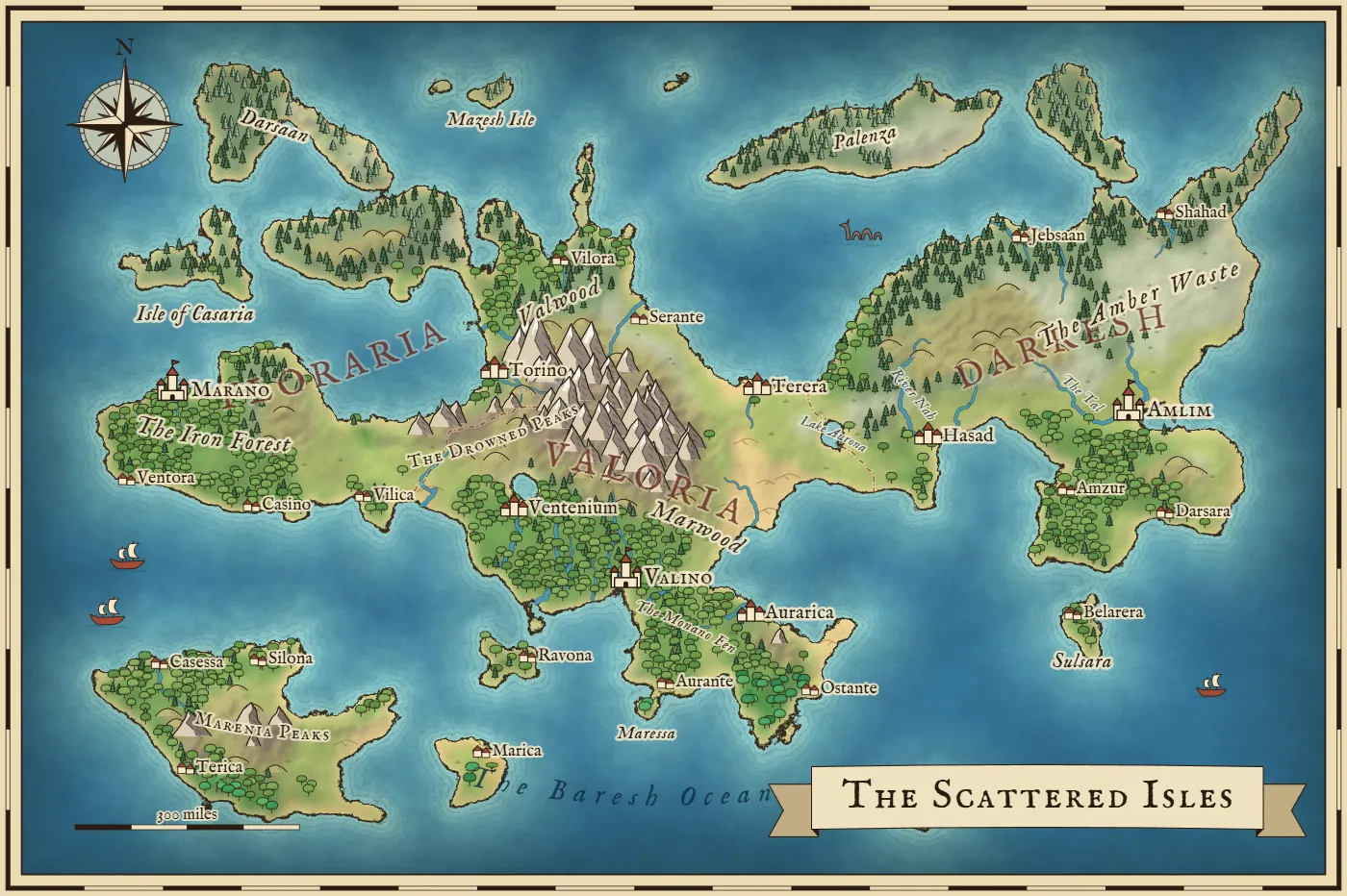
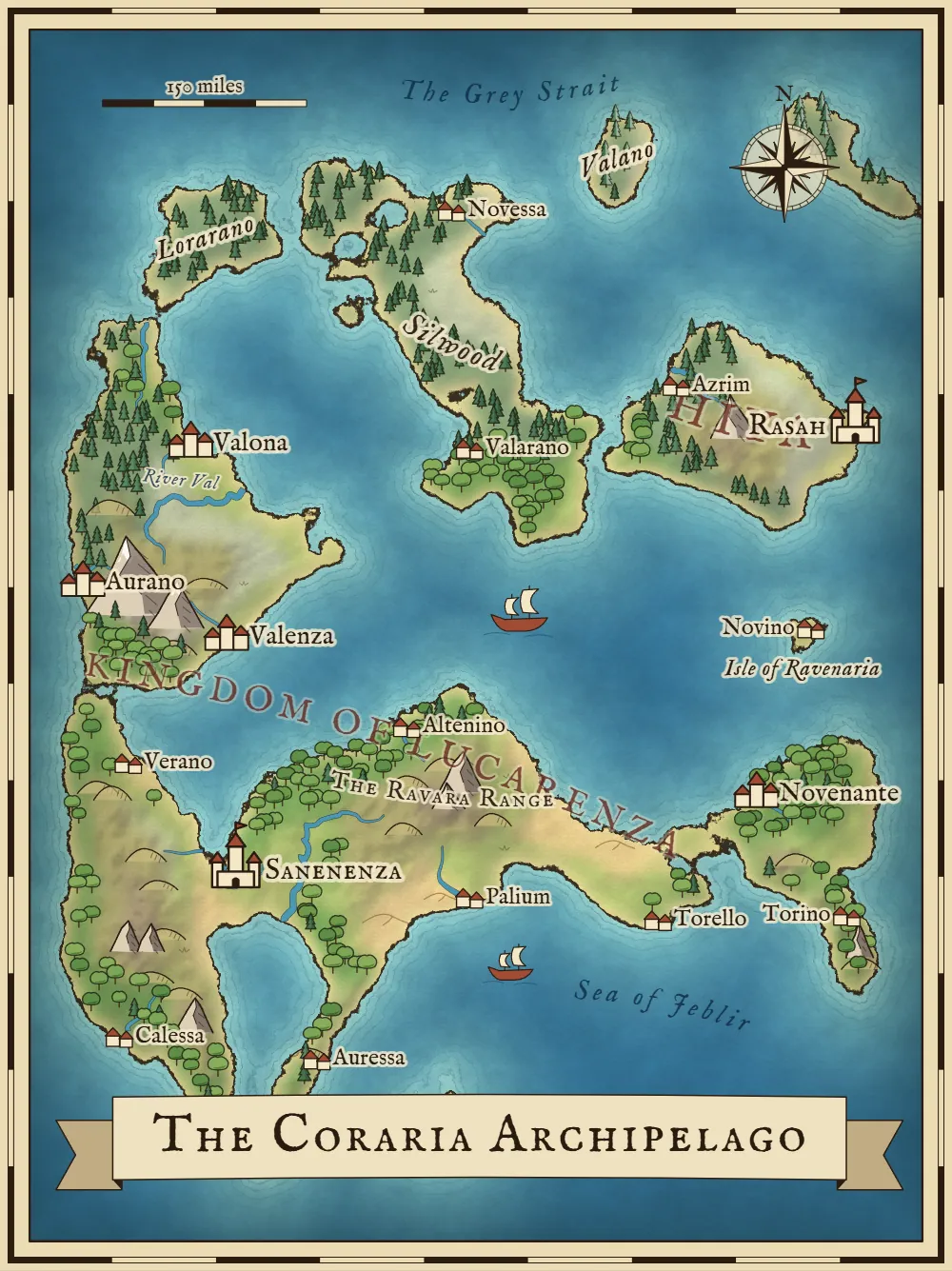
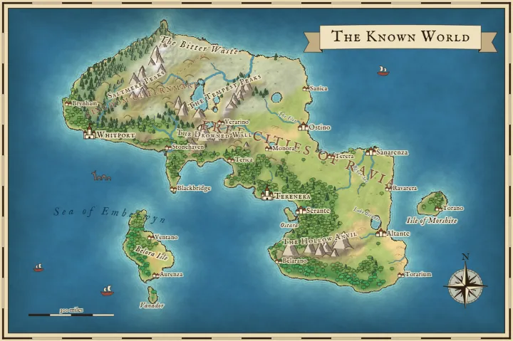
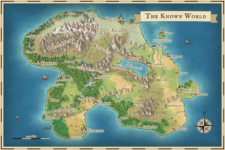
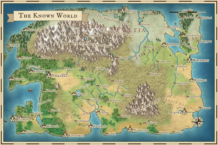
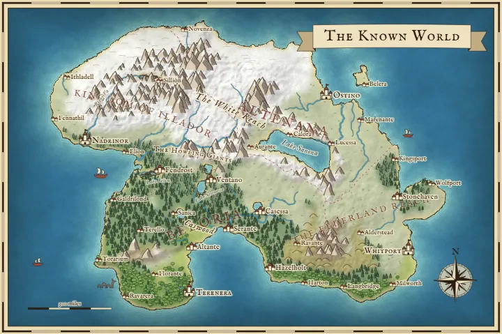
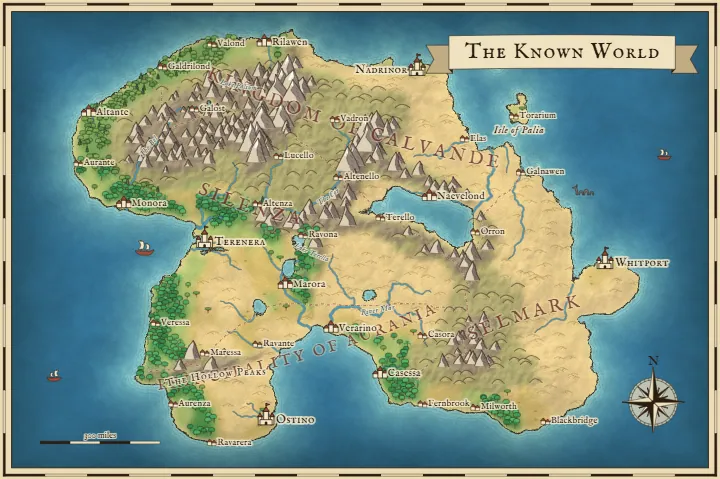
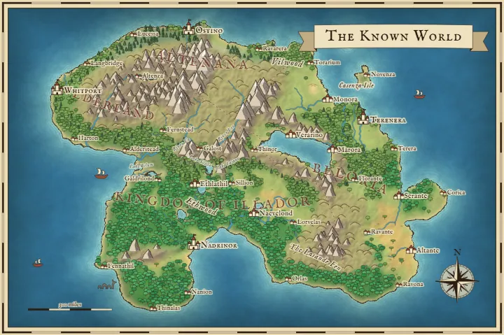
Each of these came straight out of the tool with no touch-ups. Click one to open that exact map and start changing it.
What painting a map looks like
Here's a real before and after, made with the same brushes you get on the Paint tab. A Water stroke cuts a channel through the middle, a Mountains stroke adds a range in the west, Forest fills out the east and Land raises a new island in the southeast, with a castle on it and a new name for the map. Everything you don't paint stays exactly where it was. Open the second map and you can keep going from there.
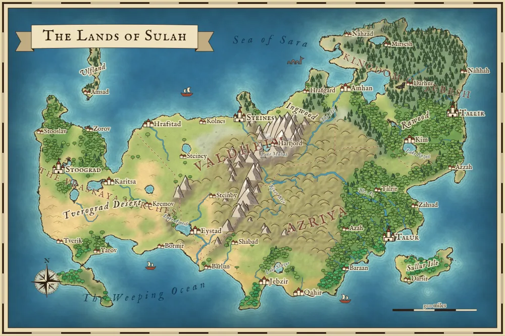
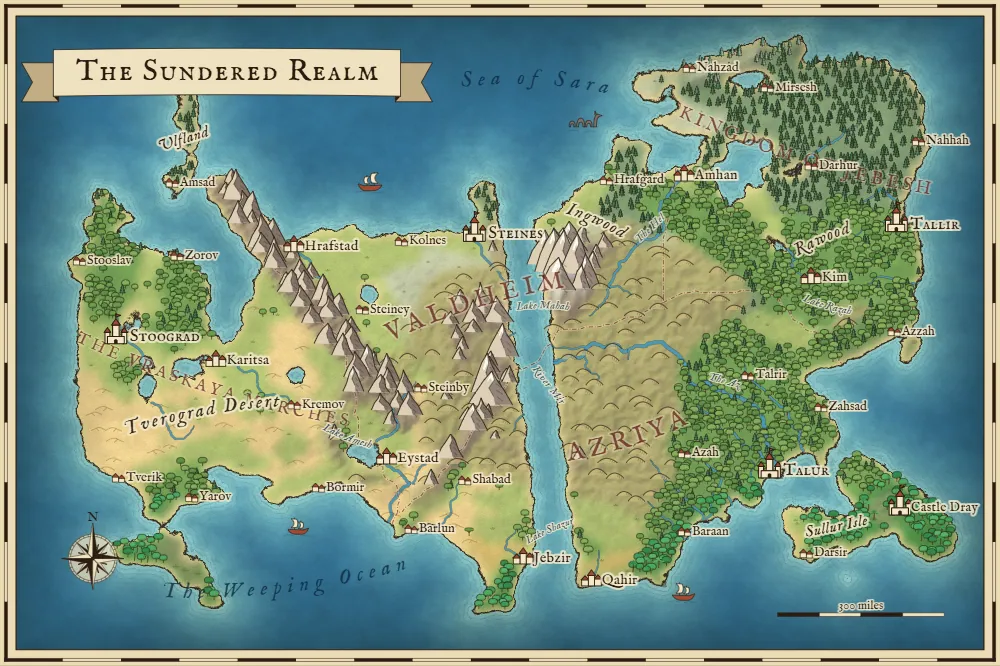
If you'd rather draw the whole thing yourself, set the land shape to Blank sea. You get an empty ocean, and the Land and terrain brushes make this more of a fantasy map designer than a generator.
A hex map maker for the same world
Press Hex map above the canvas, or open the tool in hex view, and you get a finished hex map right away, with terrain, rivers, towns and names already on it. You can tap any hex to change what's there, number the hexes for your notes, set how many miles each one covers and export a PNG for your table or virtual tabletop.
Because this hex map generator works from a whole world, mountains come in ranges, rivers run downhill to the sea and forests sit where the rain falls, so the map already makes sense before you touch it. You skip the blank page and get right to deciding where the dragon lives.
One world, drawn two ways
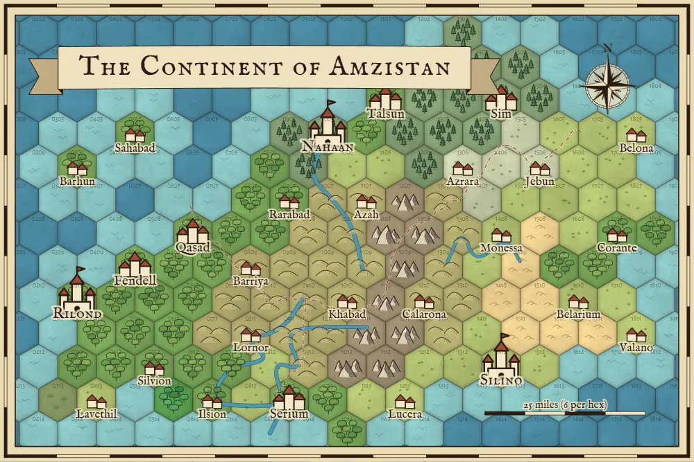
These two pictures are the same map. The tiles come from the terrain underneath, so you can run a hexcrawl on one and show your players the other as the handout. Anything you paint in one view shows up in the other.
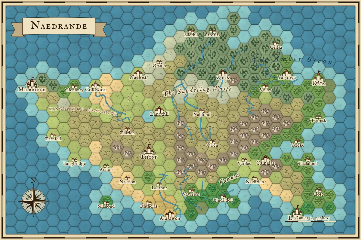
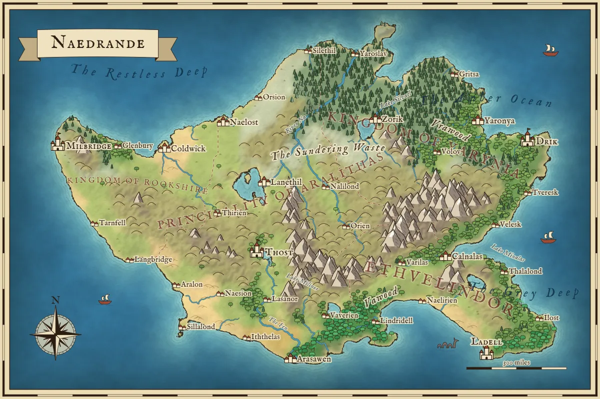
Picking your hex size
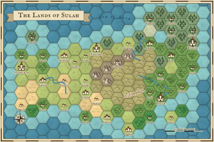
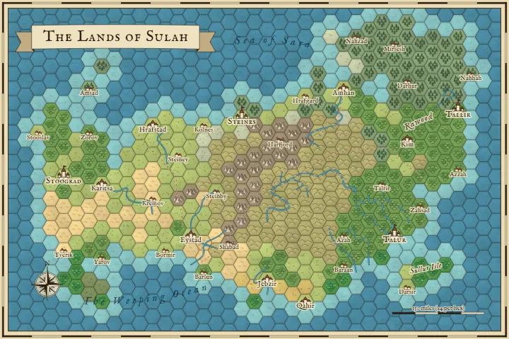
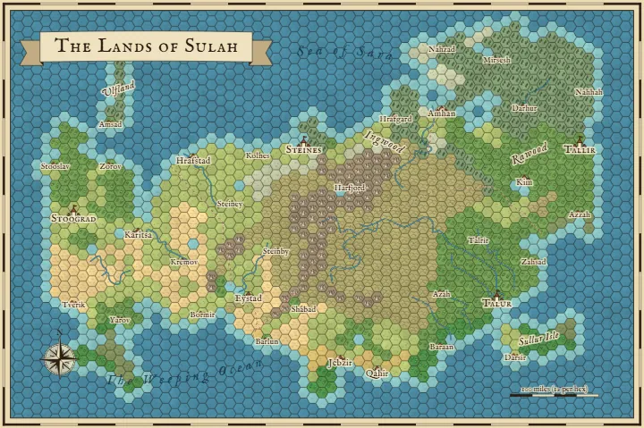
The Hex tab sets how many hexes go across the map, from 8 to 120. That changes how much detail you get, and the world stays the same. Fewer hexes work well for a campaign overview you can read at a glance. More hexes give you room for an exploration map where every hex needs its own note. Here's one world at 20, 40 and 70 hexes across.
Miles per hex
Set your number with the Miles per hex slider and the scale bar follows along. The scale you pick depends on what the map is for. These are the sizes I'd start from:
- 1 mile per hex for the land around one town, where a party can reach several hexes in an hour.
- 6 miles per hex for a region to explore on foot. A day's walk covers about four hexes, which is why this is the usual size for a hexcrawl.
- 24 miles per hex for a kingdom, at about one hex per day of travel.
- 48 miles or more per hex for a continent, when you mostly care about who borders who.
Flat-top or pointy-top, with numbers
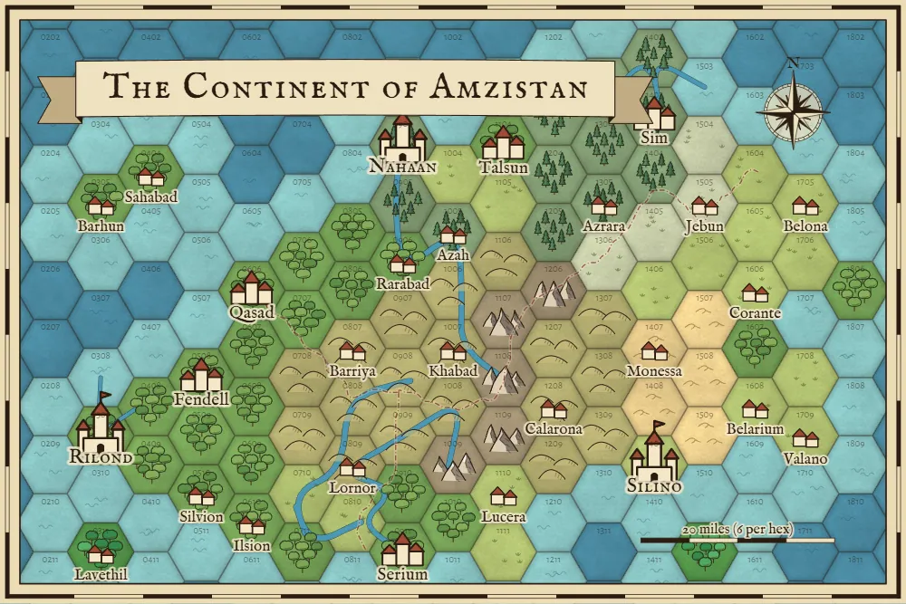
Both directions are one tap away, and the numbers follow the usual column and row style, so 0304 is column 3, row 4. That matches how most hexcrawl notes are written. Turn the numbers on before you print or export, because they're what you'll point at during the game.
Tiles, or a grid over the map
Hex style on the Hex tab switches between terrain tiles and a grid laid over the painted map, for people who like their terrain to stay natural. The Style tab works in hex view too.
Using a hex map on a virtual tabletop
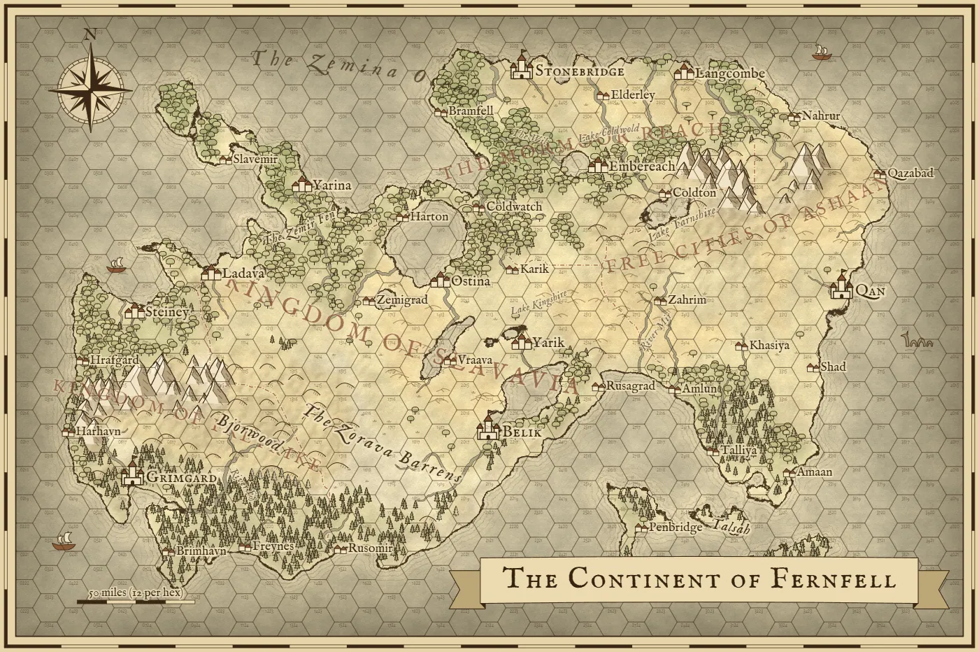
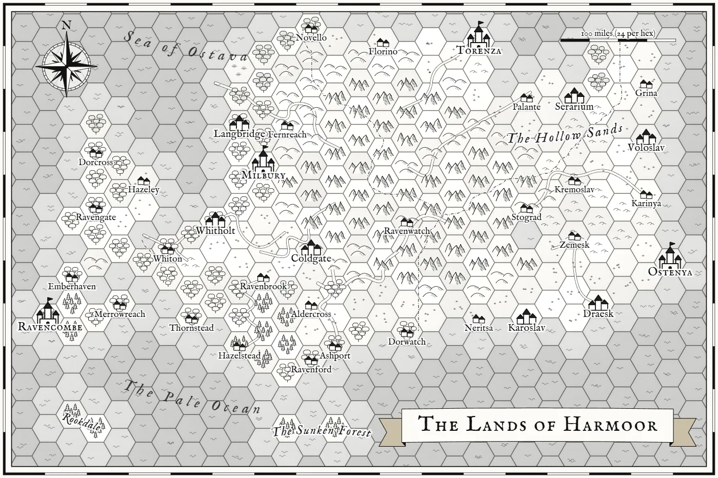
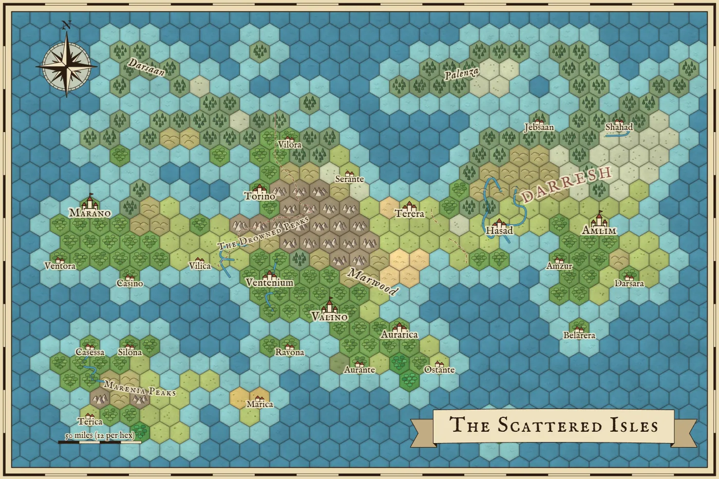
VTTs need to know how big your hexes are in pixels, so in hex view the Save tab lets you choose that directly: 50, 70, 100, 140 or 200 pixels per hex, measured flat side to flat side. Pick one, download the file, drop it in your scene, set the grid type to match your hex direction and enter that number as the grid size. You may need to nudge the grid's offset a little to line up with the first row. If you turn off the frame and title on the Names tab first, you'll get an edge-to-edge map.
Using it as a D&D map maker
If you came here looking for a dnd map maker, the honest answer is that this one makes worlds and regions. It won't make a dungeon, a tavern or a battle map with a grid for your miniatures, and Dungeon Map Builder is a better pick for those. What it's good for is the bigger picture around them. This is how I'd use it for D&D maps:
- The campaign world. Make it at Continent or World size, then rename the kingdoms and capitals to match your setting.
- The starting region. Region size has fewer, bigger icons, so it's easy to read on a shared screen or a printout.
- A hexcrawl. Flip to hex at 6 miles per hex, turn on the numbers and key your notes to them.
- A player handout. Copy the link first so you keep your own version. Then delete or hide what the party hasn't found yet and download that as a PNG. Ink style prints cleanly if you want them writing on it.
A fantasy map for a novel or your own setting
If the map is going in a novel, start with Parchment, which looks like the map in the front of a book, or Ink, which prints cleanly in black and white. The Portrait map shape fits a book page. Names matter more here, so pick a style on the Names tab (Old English, Elvish, Norse, Romance, Desert or Eastern) and retype anything that doesn't suit your story. They come from random syllables, so check that a name isn't someone's trademark before you build a product around it.
For a world builder working on a bigger setting, the link on the Save tab is the handy part. It rebuilds the map with all your edits, so you can come back and add a new city whenever the story needs one.
Making a fantasy map of an island
Set the land shape to Islands and you get a chain of them, with the Land slider deciding how much of the map stays above water. For a single island, turn the slider down on One continent until the sea surrounds it, then use the Water brush on anything left over. You can also start from Blank sea and paint the island yourself with the Land brush.
How the generator works
Everything starts from the seed, which is just a word or number that sets the random choices. The same seed and settings always give you the same world, on any device. That's why a link can hold a whole map.
The shape of the land
The tool builds a height map by layering noise on top of a rough plan for the land shape you picked. Sea level then gets set so that exactly the percentage of land you asked for ends up above water. Mountain ranges come from long wandering lines through the land, because real ranges run in chains and don't show up as random bumps.
Water and weather
Rain moves across the map from one side with the wind, and it falls heaviest where the wind hits high ground, so the far side of a range ends up dry. That water then flows downhill. Rivers join up as they go, get wider toward the sea, carve their own valleys, and fill low basins to make lakes. Temperature drops toward the cold edge of the map and as the land gets higher. Heat and rainfall together decide whether a spot becomes desert, grassland, forest, jungle, pine forest, tundra, swamp or snow.
Kingdoms, towns and names
Towns go where people would actually settle: flat ground near a coast or a river, in a decent climate. Capitals spread out across the land and each kingdom grows outward from one. Mountains and rivers are slow to cross, so they tend to become the borders. Each kingdom also gets a naming style, so nearby towns sound related, and the names of rivers, seas, forests and ranges come from the same languages.
Drawing it
There's no art library behind this, and no AI. Every mountain, tree, town and compass is drawn by code, and the coast picks up extra detail as it's drawn. That's also why a big export gets sharper instead of blurrier.
What the sliders do to one world
All six of these use the same seed. The first three change land and water, at 25, 42 and 65 percent. The last three keep the land the same and changes the climate: cold, then hot and dry, then warm and wet.
How it compares to other map makers
I tried the main options before building this, and a lot of them are good at something this tool doesn't do. This is what I'd pick and when.
Use this one if you want a map that already looks finished, with terrain you can paint and a hex version of the same world, and you want it free on whatever device you have. As far as I could find, no other tool lets you keep one world and flip it between a painted map and hex tiles, with edits carrying across and a link that holds all of it.
Use Azgaar's Fantasy Map Generator if you want a full world simulation with cultures, religions, trade routes, military and a 3D view. It goes way deeper than this one. It took about ten seconds to load when I tried it, it opens on a colored political map, and its panels take up a lot of a phone screen, so give it some time to learn.
Use Inkarnate if you want to do the map drawing by hand from a big library of painted art. It can look better than anything generated, but you're the one making it, and the full art library is paid.
Use Fantasy Map Generators if you need SVG or JPG files, which this tool doesn't make. It's also quick and free. I couldn't find a way to paint terrain or a hex view on it, and it has fewer world settings.
Use Hexer if you run your sessions on the hex map itself. It has a travel planner, session recaps, live sharing and Universal VTT export for free, plus fog of war on its paid plan. Its free plan keeps one saved map at up to 40 by 30 hexes, and bigger maps need the $5.99 a month plan.
Questions people ask
Is this really free?
Yes. It's a free fantasy map maker with no sign-up, no paid plan and no watermark on your maps. You can make as many as you like.
Can I use these maps in my book or a game I sell?
Yes. The maps you make are yours, including for commercial projects like novels, game modules and YouTube videos. You don't have to credit me, though it's always nice if you do.
Is this an AI fantasy map generator?
No. Everything comes from rules written in code: water runs downhill, rain falls on the windward side of mountains, and the mountains and trees are drawn line by line. That's why you can edit any part of the map afterward. It's real terrain data and not a flat picture.
Can it make dungeons or battle maps?
No. It only does regions and whole worlds. For a dungeon, a town or a battle map, use a tool built for those, like Dungeon Map Builder.
How do I get the same map back later?
Copy the link from the Save tab. It rebuilds the exact map, with your paint and label edits, for anyone who opens it. The seed in the World tab works too, but a seed only brings back the generated world and not your edits.
Where are my maps saved?
The current map saves itself in your browser as you work, and earlier maps you edited are listed in the Save tab. If you clear your browser data they're gone, so keep a copy of the link or a PNG for anything you care about.
How big can I download a map?
2048, 4096 or 8192 pixels wide. The extra detail is real, because coastlines, icons and text are redrawn at the size you pick and not stretched. In hex view you can also pick a size per hex, from 50 to 200 pixels. Some phones can't make the 8K image, so pick 4K if it fails.
Does it work on a phone?
Yes. On a phone it starts with a portrait map sized for the screen. You pinch to zoom, drag with one finger to paint, and tap a name to change it.
Can I add my own artwork?
No, everything on the map is drawn by the tool. You can add towns, castles, towers, ruins and text labels of your own, and you can download the PNG and keep working on it in any image editor.
Should I use flat-top or pointy-top hexes?
Use whichever your game or virtual tabletop expects. Flat-top hexes have straight columns and are the usual choice for hexcrawls and most old-school modules. Pointy-top hexes have straight rows. You can switch at any time on the Hex tab, and it doesn't change your world.
Can I use a hex map with Foundry, Roll20 or Owlbear Rodeo?
You can use the PNG on any of them. Pick a pixels-per-hex size on the Save tab and enter that number for the hex grid in your tabletop. There's no special VTT file with walls or lights, and no fog of war. If you need those built in, a dedicated tool like Hexer is a better fit.
Does painting a hex change the painted map?
Yes, because both views show the same world. If you paint a hex as desert and switch to Painted map, that patch of land is desert there too, with dunes on it.
Can players see my map?
Yes. Copy the link on the Save tab and send it to them. It opens the same map with your edits. Keep in mind they'll see everything on it, so delete or hide anything you want to keep secret before you share.